Triggered by the promises of global warming, the Arctic is a site of intense geopolitical and infrastructural intrigue, with incompatible and interlocking border, claims rooted in colonial and cartographic history.
During my research, I discovered that these claims are political constructs with a liminal condition, presented via the current cartographic imagination that renders the world as Cartesian space. This arrangement of space is based on the location of bidimensional border lines. Lines decided by political decisions rather than scientific ones, which is why, especially in time of climate crisis, they lack the capacity to function as a suitable instrument to design and govern our world, exactly because they do not account for the complexities of the region.
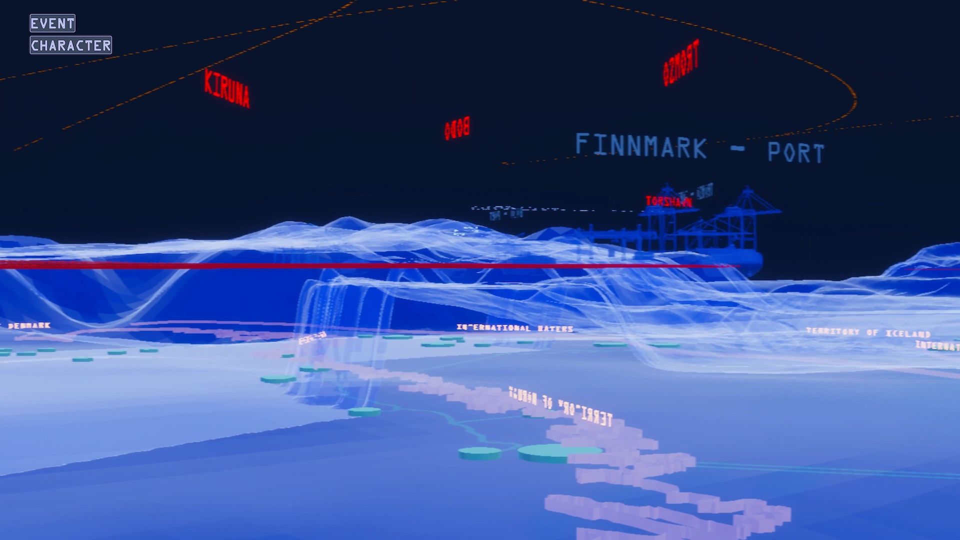
"Alternative Arctic Perception" constitutes an alternative cartographic representation for the Arctic. A region in which the climate radically transforms the geographic area as well as the geopolitical governance. The game lets you move through several geozones, which are transcontinental regions that defy the prevailing cartographic logics. By including global aspects apart from different meanings and histories of several agents, these zones aim to construct an alternative representation that accounts for the dynamic complexities of the Arctic landscapes. Ultimately, this game functions as a testing ground for a new visual strategy to communicate the liminal condition of politically constructed borders within the Arctic region.
The project was developed at the Royal College of Art.
KOOZ What prompted the project?
LGD The promises of global warming transform the Arctic region into a site of intense geopolitical and infrastructural intrigue, with incompatible and interlocking border claims, rooted in colonial and cartographic history. These claims form the basis of the project, they are political constructs with a liminal condition, presented via the current cartographic imagination that renders the world as a Cartesian space. An arrangement of space decided by political decisions rather than scientific ones and represented by bidimensional border lines. But in time of climate crisis, these lines lack the capacity to function as a suitable instrument to design and govern our world, exactly because they do not account for the complexities/dynamic nature of the Arctic region.
KOOZ What questions does the project raise and which does it address?
LGD Today, the immaterial nature of the border claims in the Arctic region constitute a real battleground in which state interests collide. These claims have a global repercussion and can change our perception of state borders and question the boundaries of state ownership in the Arctic region.
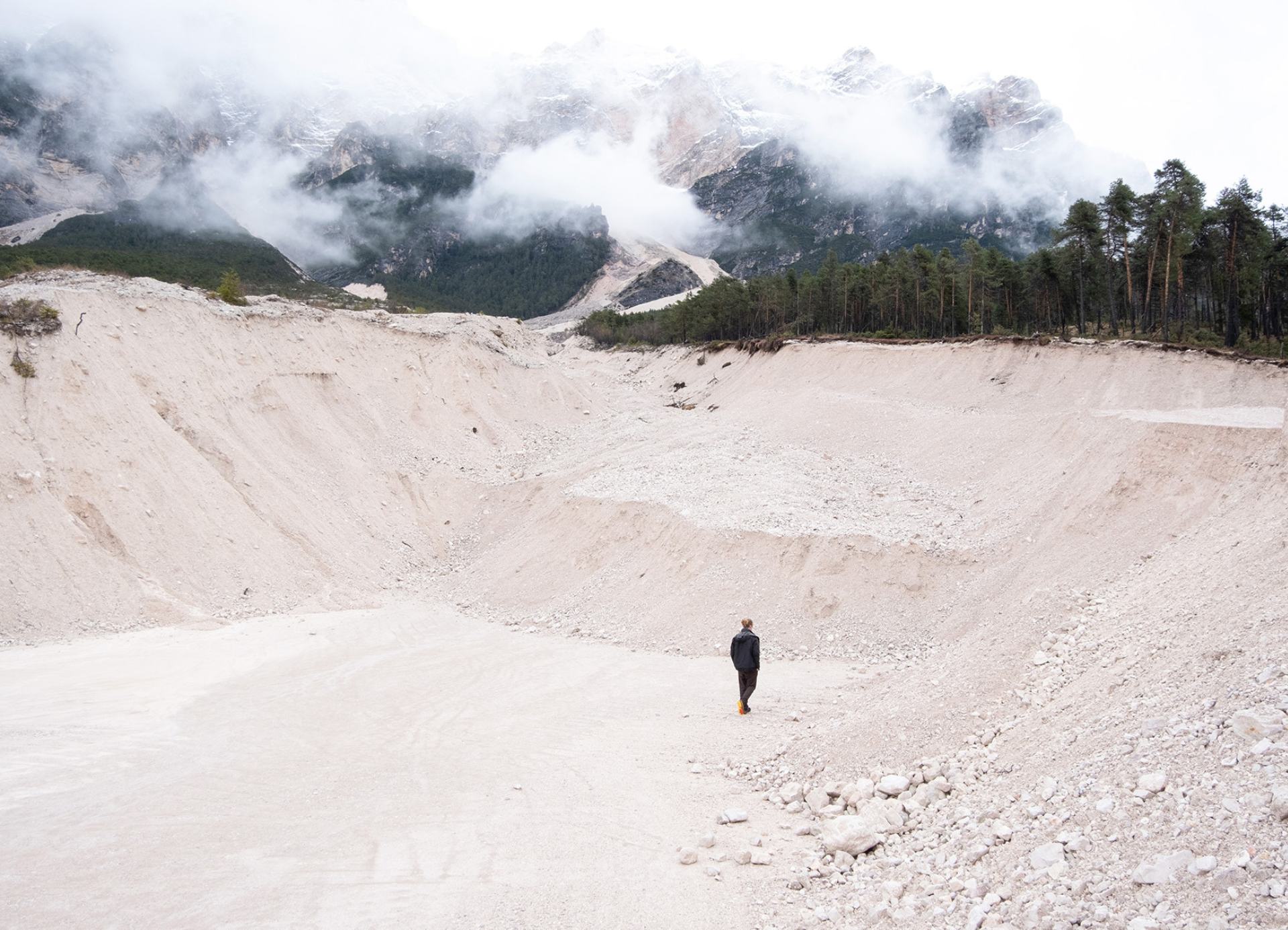
The fixity of borders is exactly what the project ‘Alternative Arctic Perception’ critiques. It aims to constitute an alternative cartographic representation for the Arctic. A region in which the ecological crisis radically transforms the geographic area as well as the geopolitical governance. This alternative cartography captures the dynamic nature of the Arctic landscape, which is time-materialized, never stands still, and is thus in a constant process of becoming.
Today, the immaterial nature of the border claims in the Arctic region constitute a real battleground in which state interests collide.
KOOZ How does the project challenge and explore the very notion of borders?
LGD The project takes a critical standpoint in how the current cartographic landscape functions. It intends to challenge the permanence of national borders and the primacy of the nation-state via reconceptualising the current visual strategy for communicating the dynamic nature of territorial claims. To achieve this, I used the dynamic nature of the Arctic landscape as a point of departure to critique the fact that borders solidify the blurry, transitional conditions of landscapes into one line. With an alternative mode of mapmaking constructed through a game, the project intends to change how the virtual claims in the Arctic region are perceived.
KOOZ How does the project understand the role and power of cartography in surveying and representing hidden and misunderstood dynamic geopolitical complexities in the Arctic?
LGD The project started from studying the political division of earthly territories -land, sea, and air among them- through existing cartographies. These cartographies have the strength to represent lots of information into one single document but lack the capacity to include the experience of the dynamic geopolitical complexities in the Arctic. At this point, Alternative Arctic perception applied the medium of the game as a tool to initiate the topic of moving borders via combining both data and narrative in the wider concept of geozones (transcontinental regions that defy the prevailing cartographic logics). This concept is used to visualize global aspects as well as different meanings and histories of several agents. These agents are the four characters -a fish, a bird, a machine and an ice sheet- they all have three different stages: a third person play, a first person perception in which you embody their view regarding the area and, an informative map which presents the borders they perceive in a more traditional sense. Combining the three allows the players to experience the interconnectedness of environmental processes and geopolitical decisions.
With an alternative mode of mapmaking constructed through a game, the project intends to change how the virtual claims in the Arctic region are perceived.
KOOZ What informed the format of the game as a means of engaging the wider community in the discourse on a pivotal ecosystem?
LGD Worldbuilding lets the audience engage with the dynamic nature of environmental processes and political challenges in the Arctic region. The digital environment is a translation of this methodology, it projects a system for an alternative representation rather than a policy, which allows me to create a story via imaging. Concretely this means the project is rooted in scientific data but questions how this data is currently being delivered/translated. Within this virtual world I combined mapping techniques with 3D digital experiments, doing this I was able to maintain a political grasp, which allowed me to search for alternative modes of representation since I could free myself from specific scientific rules.
KOOZ What is for you the power of the architectural imaginary?
LGD The project curates’ relationships between legislations and multiple agents living in the Arctic environment. Compiling both together in one environment enables me to juxtapose lots of bits of info and show them in another way. Specifically in this project, I apply this methodology to reveal the need for a new cartographic representation in areas where the climate radically transforms the geographic area as well as the geopolitical governance. Therefore, the gaming environment is a specialization of the politically constructed border network. Via the generated atmosphere within the game, you now experience border claims – not written down in a document but visualised in a 3D environment.
Bio
Lena Geerts Danau is a recent graduate from the Royal College of Art. In 2019 she worked at the architectural practice B-architecten in Antwerp. At the RCA, Lena studied in ADS7: Politics of the Atmosphere, where she focused on the geopolitical influence of data distribution. Particularly interested in geopolitical and geographical influences, her Master thesis "Alternative Arctic Perception" draws on this interest by exploring fluid border situations within the framework of ADS8, a studio which investigates the architectural agency of digital environments as a new mode of representation. Currently Lena Geerts Danau together with Andra Pop-Jurj established alternaA, a critical spatial practice with an environmentally constructive agency that operates across scales and media. Their current research draws on the spatial manifestation of social, environmental and geopolitical conflicts in the dynamic landscapes of the Arctic region.