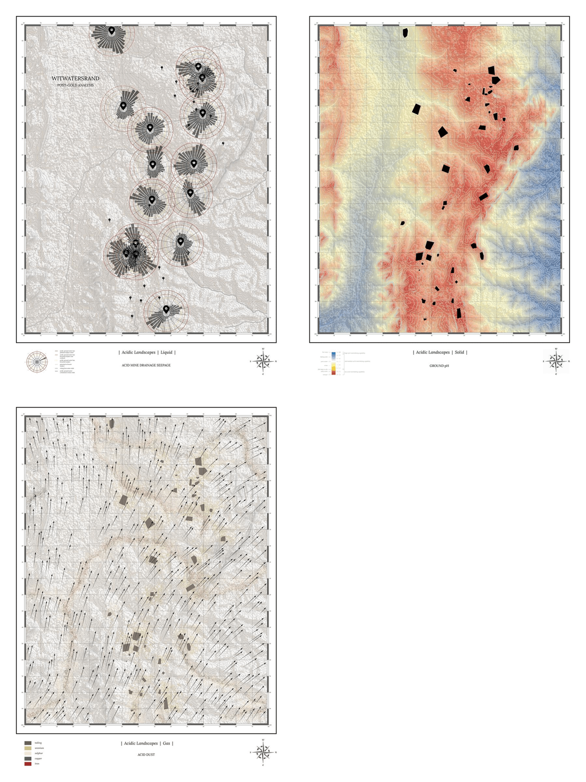
The Acidic Landscapes maps are a triptych of drawings that analyze Acid Mine Drainage in and through the three states of matter: liquid, solid and gas. The liquid map measures AMD seepage in proximity to rivers, quantifying the pollution as well as registering its flows. The solid map measures the pH levels of the ground along the Witwatersrand reef. The gas map depicts the chemical composition of dust being blown from the mine tailings into the nearby townships of Johannesburg. The maps ask a number of questions regarding environmental and socio-cultural trajectories: where does this dust blow? Who feels and lives, with this dust, these acids, and toxins that are carried by the wind?
The project was developed within the context of Carleton University.